Tesla Constructs Its Own Mapping System to Correct Vision Flaws
The automaker admits its cameras alone cannot reliably handle basic navigation tasks, forcing a shift away from its long-standing rejection of external map data.
By Mei Ling ·
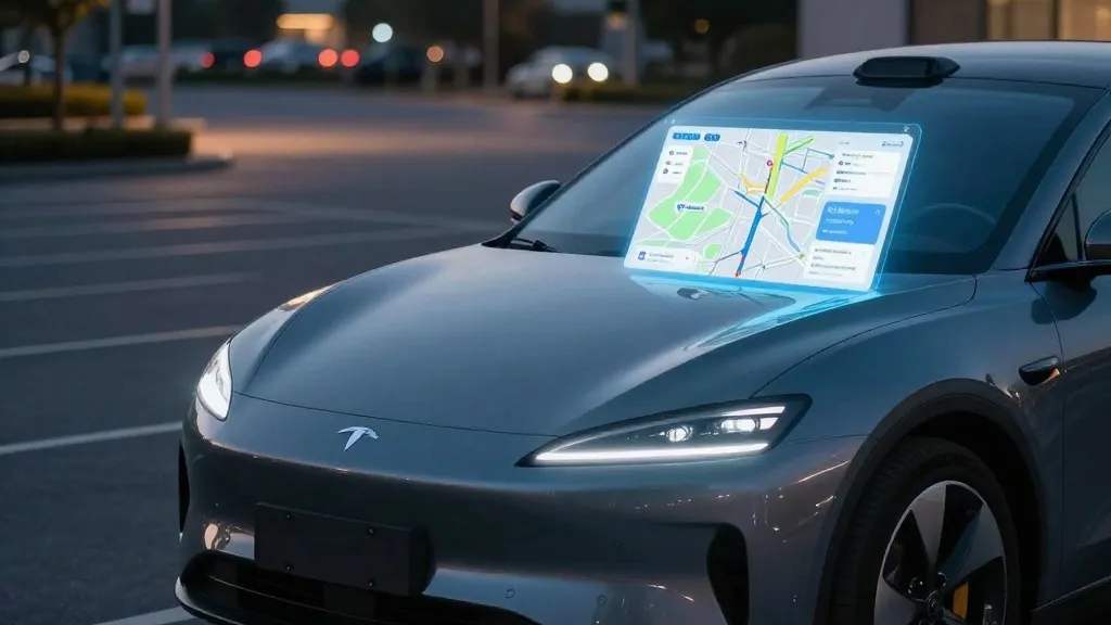
Tesla is developing a proprietary mapping and navigation system to address persistent errors in its Full Self-Driving software. During the company’s Q3 2026 earnings call, executives confirmed that the vehicle fleet will now collect data to build a custom map layer. This new infrastructure is designed to specifically improve how the cars interpret speed limits, select routes, and handle parking maneuvers.
This announcement marks a significant departure from the company’s previous public stance. For years, Tesla’s leadership argued that relying on pre-made maps made autonomous driving systems fragile and limited. The core argument was that a robust artificial intelligence should be able to interpret the physical world in real-time without needing a pre-digitalized version of the road network. By now building its own maps, Tesla is effectively acknowledging that its vision-based AI requires additional structural data to function correctly.
The decision follows direct feedback from investors regarding the system's shortcomings. A retail shareholder asked why the company continues to rely on third-party map providers when mapping issues remain a primary complaint. The specific problems cited included the car’s frequent failure to read speed limit signs, difficulties in navigating parking scenarios, and suboptimal route choices. These are fundamental environmental understanding tasks that the current system often botches.
Ashok Elluswamy, Tesla’s Vice President of AI, stated that the company should no longer depend on external map data. He described the new architecture as AI-based, utilizing the collective learning of the entire vehicle fleet to construct the maps. The system is also designed to adapt to individual driver preferences and respond to voice commands. Elluswamy indicated that this new layer will initially manage the start and end of trips in the upcoming v15 software release, with full navigation and parking capabilities following in subsequent months.
This approach is not a return to the high-definition maps Tesla originally built in 2015. In 2019, Elon Musk famously dismissed high-precision lane maps as a "huge mistake" that created brittleness in the system. He argued that cameras and neural networks were sufficient to solve driving anywhere. However, the current map layer appears to be a functional tool for fixing specific environmental blind spots rather than a centimeter-accurate digital twin of the world.
The practical necessity for this change is highlighted by recent independent tests. A Belgian road safety group found that the Full Self-Driving system exceeded the speed limit in 55% of the 30 km/h zones it tested in Brussels. The vehicles often displayed a 50 km/h limit on their screens, indicating a failure to correctly identify and process static road signage. In the United States, regulators are also investigating claims that robotaxis speed through active school zones, further underscoring the vision system's struggles with basic environmental cues.
By leveraging its massive fleet to build these maps, Tesla is adopting a strategy similar to that of its competitors. Other autonomous driving companies have long used vehicle fleets to map cities before launching services and continue to update those maps as cars drive. While Tesla’s cars rely primarily on cameras and the new competitors use lidar, the underlying logic is now aligned: the fleet collects data to create a map that assists the AI in making safer decisions. This convergence suggests that the debate over whether maps are a "crutch" or a "tool" may be less about the technology itself and more about the timeline of implementation.
The shift implies that the company’s long-term vision of a purely vision-based, general-purpose driver is evolving into a hybrid model. The new maps will likely become more detailed over time, potentially approaching the high-precision levels previously dismissed. For drivers, the immediate benefit may be a reduction in common navigation errors, but for the industry, it serves as a practical admission that current AI capabilities require more structured data to navigate complex urban environments reliably.
Source: Electrek